
Field Boundary API
We offer a REST-API which can be connected to any app or system that is online. These are our API services:
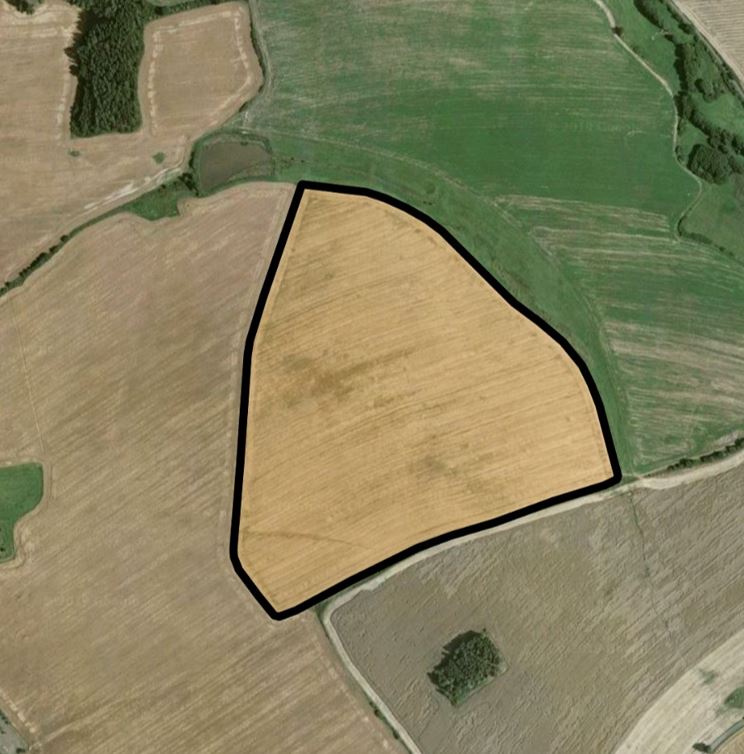
Detection
A simple request for getting a field boundary: Provide a coordinate (latitude/longitude) as an input. Our system responds a polygon of the field geometry in geoJSON format.
API documentation on Postman
You can read the full documentation of our Field Boundary API here.
Test via app or API trial
Do you want to test our service? There are two options for testing our Field Boundary API.