For your app
Ease your service for your customers!
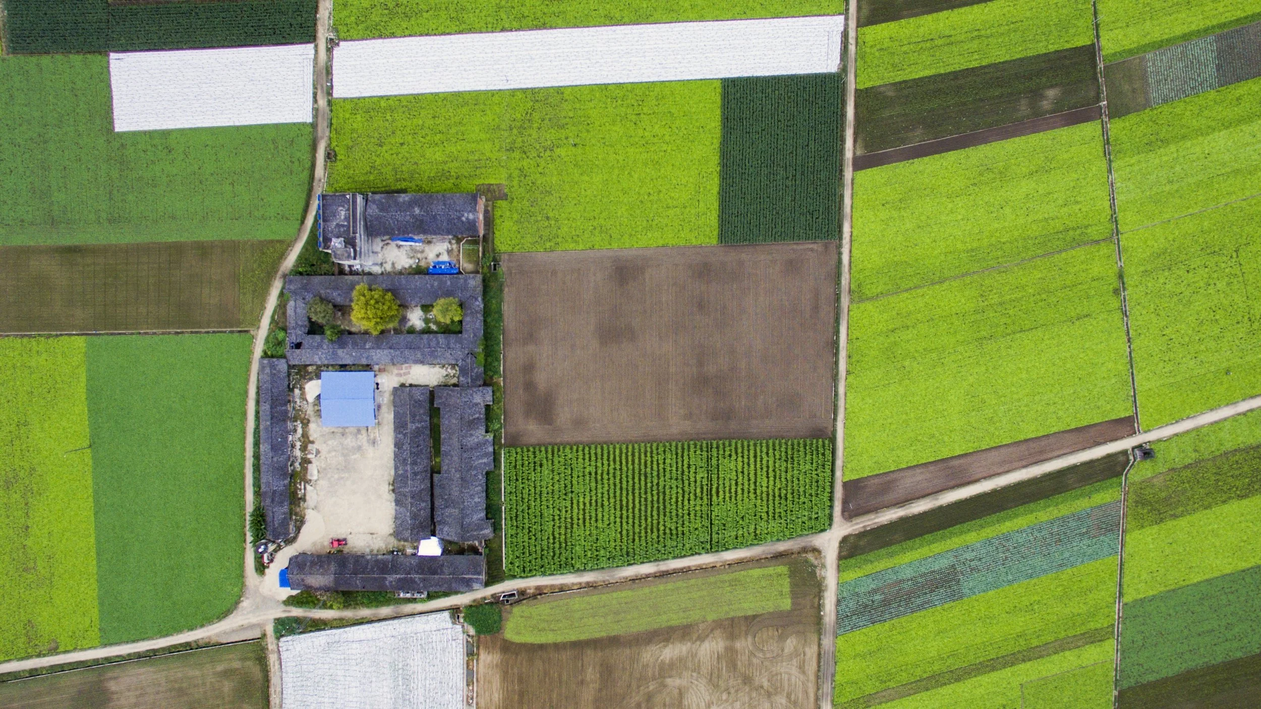
Geometric field boundaries are the foundation of any digital farming app. Our service is available as a REST-API. You can connect it to any of your existing systems. The service provides accurate field boundaries in an optimized format.
Cropped area
The Field Boundary Detection is made for recognizing the cropped area in fields. The geometry of cropped areas is often not reflected correctly by the cadastral geometry.

Monitor geometric field changes
Our systems constantly monitor the latest satellite images and detect geometric updates in field boundaries. Farmers change the boundaries of cropped areas from time to time according to their farming strategies. We recognize that and automatically inform your system. Once you have requested a field through our Detection API, our system notifies your app about any geometric change that happens in the field.

Interested? We offer a free trial.